7.4 km | 9.5 km-effort
Trail Planner Map
swp648
User
Length
11.3 km
Max alt
193 m
Uphill gradient
299 m
Km-Effort
15.3 km
Min alt
67 m
Downhill gradient
299 m
Boucle
Yes
Creation date :
2024-03-08 14:55:00.554
Updated on :
2024-03-10 18:24:33.525
3h28
Difficulty : Difficult
FREE GPS app for hiking
About
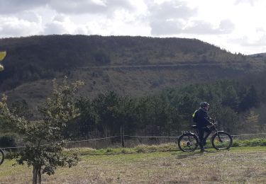
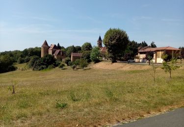
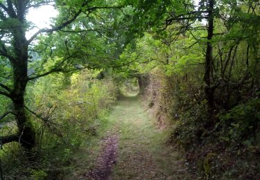
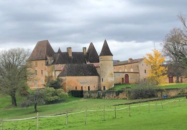
Trail Walking of 11.3 km to be discovered at New Aquitaine, Dordogne, Coux et Bigaroque-Mouzens. This trail is proposed by swp648.
Description
Suivre l'itinéraire balisé
Positioning
Country:
France
Region :
New Aquitaine
Department/Province :
Dordogne
Municipality :
Coux et Bigaroque-Mouzens
Location:
Coux-et-Bigaroque
Start:(Dec)
Start:(UTM)
339867 ; 4966859 (31T) N.
Comments
Trails nearby
Siorac / château des Millandes
Electric bike
Very easy
Siorac-en-Périgord,
New Aquitaine,
Dordogne,
France
40 km | 48 km-effort
Unknown
Yes
Siorac Le Buisson Le Coux
Hybrid bike
Very difficult
Siorac-en-Périgord,
New Aquitaine,
Dordogne,
France
38 km | 46 km-effort
2h 44min
Yes
St Chamassy 19,5km
Walking
Difficult
Saint-Chamassy,
New Aquitaine,
Dordogne,
France
19.5 km | 27 km-effort
3h 38min
Yes
Boucle de Siorac en Périgord
Mountain bike
Medium
Coux et Bigaroque-Mouzens,
New Aquitaine,
Dordogne,
France
39 km | 49 km-effort
3h 37min
Yes
Boucle de Pech Melou
Walking
Difficult
Saint-Chamassy,
New Aquitaine,
Dordogne,
France
15 km | 19.9 km-effort
3h 19min
Yes
blue1
Electric bike
Very easy
Siorac-en-Périgord,
New Aquitaine,
Dordogne,
France
17.6 km | 21 km-effort
57min
Yes